|
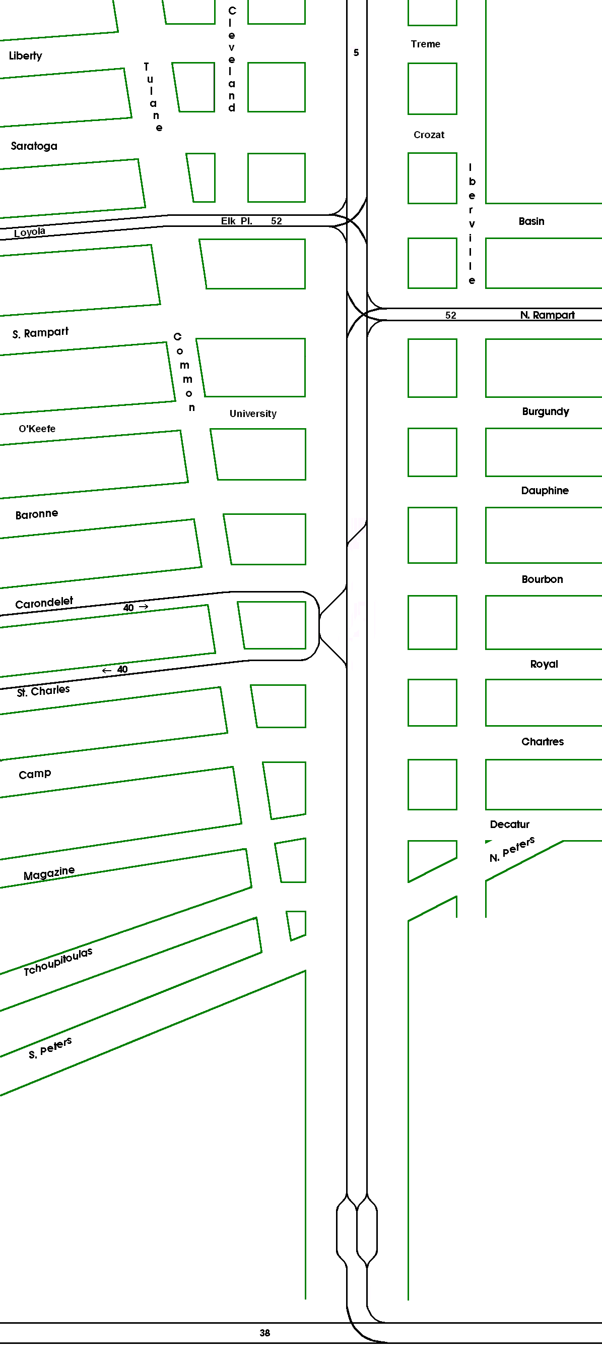
This is a highly schematic map of the trackage on Canal Street and in the Canal Street area after the construction for the Rampart-St. Claude line. For simplicity, the Riverfront line is shown as a pair of straight lines, but of course it actually curves with the Mississippi River. Only streets of interest are shown. The map is not drawn to any scale. |