Previous Map | Next Map
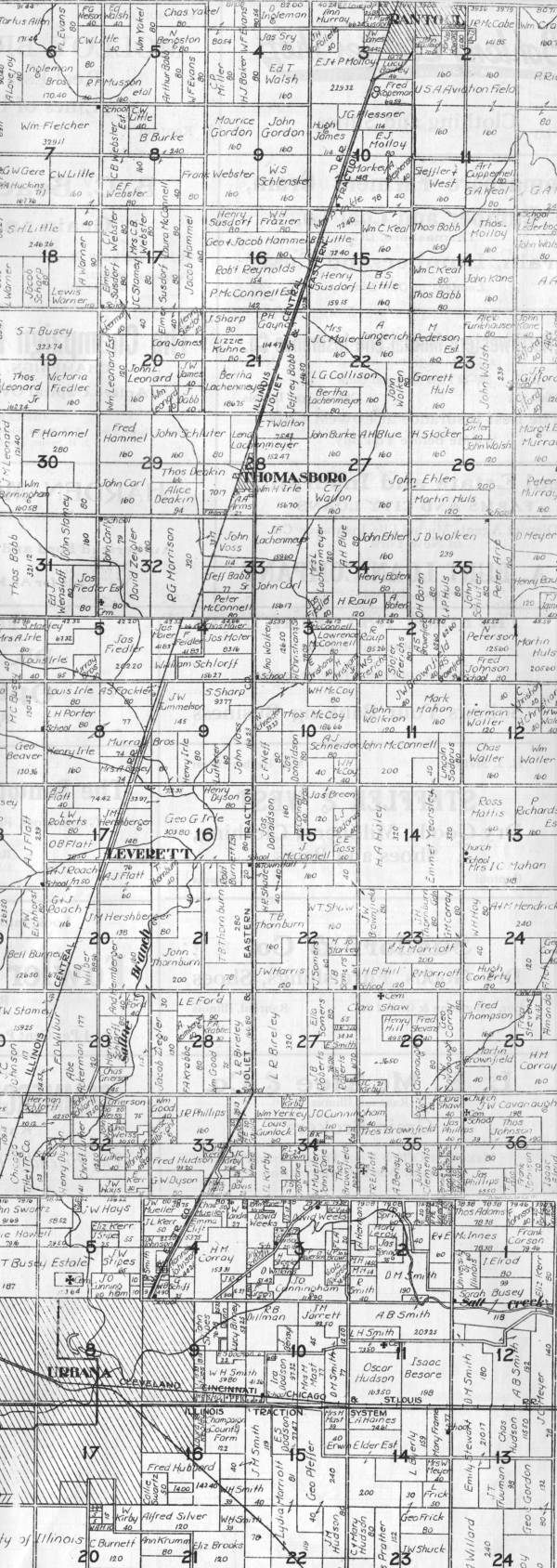
This map was formed from a vertical splice of the maps of Urbana, Sommer, and Rantoul Townships. It shows the line of the Kankakee & Urbana Traction from the Urbana city limit northward, beginning in Urbana Twp. section 4, then turning due north along the section line between Somer Twp. sections 27 and 28 to Thomasboro in Rantoul Twp. section 28, then running parallel to the Illinois Central RR almost to Rantoul, where it turns toward the northeast to enter Rantoul along the section line road between Rantoul Twp. sections 2 and 3, which is Chandler Street in Rantoul. The township maps north of Rantoul are not included, because they show nothing of the K&UT. Apparently, these maps predate the extension of the K&UT north of Rantoul in 1914. The K&UT trackage is identified as the Joliet & Eastern Traction, although as far as I know, the J&ET and the K&UT were never part of the same corporate structure.
Previous Map | Next Map